

Filters
Data type
Hyperspectral data
LiDAR data
Orthophoto
Thermal data
Thematic outputs
Ecosystem type
Forest
Urban
Agro-ecosystem
Water
Acquisition date
July 7, 2015
Datasets
HS VNIR
HS SWIR
HS LWIR
Dataset information
Title: HS LWIR
Date: July 7, 2015 at 11:00 AM UTC
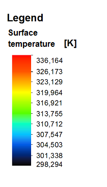
Data type: Thematic outputs, Hyperspectral LWIR (thermal) data
Ecosystem type: Urban
Area: 227.2 km²
Spatial resolution: 2 m
Spectral range: 8000–11500 nm
Spectral resolution: 110 nm
Number of bands: 32